3 End User
🧗 Mountaineers & Planners: Use route risk data for planning safe ascents.
🚶 Outdoor Tour Operators: Design trekking experiences aligned with real-time conditions.
🌍 Geographers & Researchers: Study snow dynamics and monitor climate change effects.
The tool especially assists commercial teams in preparing expeditions for the peak climbing season (April–May), enabling route and equipment selection based on predicted terrain risks.
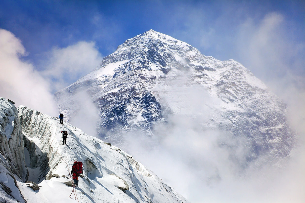
The Everest. Source: Daniel Prudek/Getty.